
Because -9999 often works better than 0 for a DEM
Follow this link or copy the code below.
// Specify Country names
var country_names = ['Indonesia'];
// Get the country boundaries
var countries = ee.FeatureCollection('ft:1tdSwUL7MVpOauSgRzqVTOwdfy17KDbw-1d9omPw');
// Filter for country
var Indonesia = countries.filter(ee.Filter.inList('Country', country_names));
// Get the geometry
var Indonesia = Indonesia.geometry();
// Get the bounds
var IndonesiaBounds = Indonesia.bounds();
// create the vizualization parameters
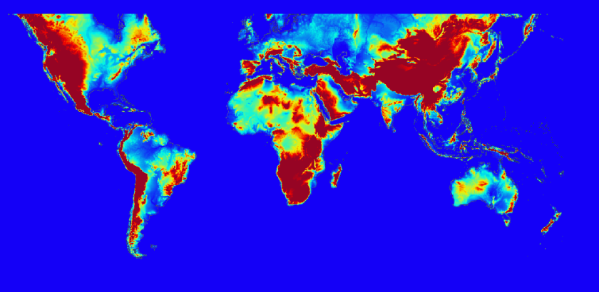
var viz = {min:0.0, max:1000, palette:"1400f7,00f4e8,f4f000,f40000,960424"};
// add the country boundaries to the map
Map.addLayer(Indonesia,null,"Boundaries");
// add the bounds
Map.addLayer(IndonesiaBounds,null,"Bounds");
// replace the mask by -9999
var mask = dem.mask()
var demMap = ee.Image(-9999).where(mask, dem)
// add to map
Map.addLayer(demMap.clip(IndonesiaBounds),viz,"Clipped DEM");
//Export the image, specifying scale and region.
Export.image.toDrive({
image: demMap,
description: 'IndonesiaNoData',
scale: 1000,
region: IndonesiaBounds
});
