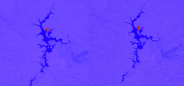
with Sentinel 1 and Sentinel 2

— Tutorials, Code snippets and examples to handle spatial data —

with Sentinel 1 and Sentinel 2

Dynamic thresholding ftw

Dynamic thresholding ftw

Based on Anisotropic Diffusion

Gamma-MAP filter combines geometric and statistical properties to produce the values of the pixel and the average of neighboring pixel using moving windows

Refined Lee Filter is an enhancement of Lee filter and can preserve prominent edges, linear features, point target, and texture information See the code below