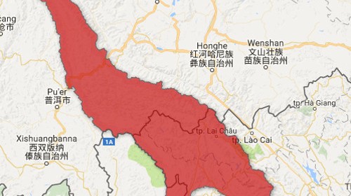
Yeah! Goodbye fusion tables!

— Tutorials, Code snippets and examples to handle spatial data —

Yeah! Goodbye fusion tables!

specify -9999 as nodata in metadata

Investigate how and where water flows

On Protected, Utilized and modified landuse or Managed water use

Upload shapefiles as fusion tables and use them in the GEE.

Calculate the upstream area using the GEE, Qgis and Taudem.