
Investigate how and where water flows
Step 1: Download the 30sec SHAPE: Drainage Basins (Beta) for Asia
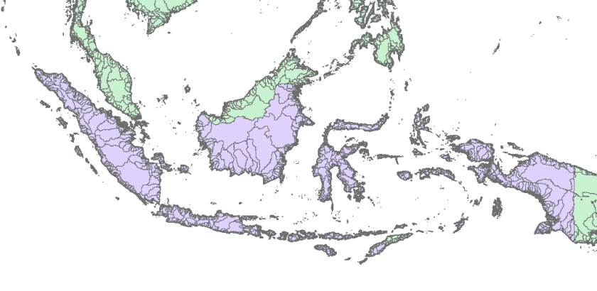
step 2: Download the administrative boundaries for Indonesia.
Step 3: Use the clip function in ArcMap or QGIS to clip the watersheds within the country.
Step 4: Make a subset of all watersheds larger than 50 Sqm2 and save it as a layer.
Step 5: save the new layer as a KML.
Step 6: Upload the kml as a fusion table.
Follow these instructions to upload and display the fusion table.
Step 7: Display the fusion table in the GEE with the code below:
var ft = ee.FeatureCollection("ft:1iSZG5gJnLKJ4VYLfnBXGO9IoFWuVPMVd79j7q8rf")

Map.addLayer(ft)
Step 8: Use the inspector to select a watershed.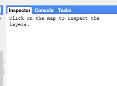
Step 9: Use the code below to select an watershed
// select polygon based on BASIN_ID
var myPolygon = ft.filter(ee.Filter.eq("BASIN_ID",254632));

// add single watershed
Map.addLayer(myPolygon,null,"my watershed");
Step 10: Use the code below to calculate the bounds
// get bounds of polygon
var bounds = ee.Feature(myPolygon.first()).bounds().geometry();

// add single watershed
Map.addLayer(bounds,null,"Bounds");
Step 11: Use the code below to calculate a buffer
// buffer bounds
var buffer = bounds.buffer(50000);

// add buffer
Map.addLayer(buffer,null,"Bounds with buffer");
Step 12: Import the
WWF HydroSHEDS Hydrologically Conditioned DEM, 3 arc-second.
Step 12: Import the
WWF HydroSHEDS Hydrologically Conditioned DEM, 3 arc-second.
var DEM = ee.Image("WWF/HydroSHEDS/15CONDEM");

// create the vizualization parameters
var viz = {min:0.0, max:1000, palette:"1400f7,00f4e8,f4f000,f40000,960424"};

// show DEM
Map.addLayer(DEM,viz,"DEM");
Step 13: Set the nodata values to -9999 instead of 0
// replace the mask by -9999
var mask = dem.mask()
var demMap = ee.Image(-9999).where(mask,dem)
Step 14:Export the data to the Google Driver
//Export the image, specifying scale and region.
Export.image.toDrive({
   image: demMap,
   description: 'DEMKapuas',
     scale: 1000,
    region: buffer
 });

How do you isolate Map of Indonesia from the downloaded Asia basin map?
How do you download the Administrative boundary for Indonesia?
How to select a particular Watershed-Catchment Area with river profile and cross-section?
LikeLike
You can upload a shapefile to your asses store and filter based on the properties.
LikeLike