
The MSBuildings dataset
The MSBuilding dataset is an invaluable source of information for mapping vulnerabilities. The dataset was generated from Bing Maps imagery between 2014 and 2021 including Maxar and Airbus imagery. You can find more info by clicking the link below.

// list all assets and print the output
var objects = ee.data.listAssets('projects/sat-io/open-datasets/MSBuildings');
print('Assets in MS Global Buildings Footprint Folder', objects['assets']);
// print the cambodia data size
print(ee.FeatureCollection('projects/sat-io/open-datasets/MSBuildings/Cambodia').size());
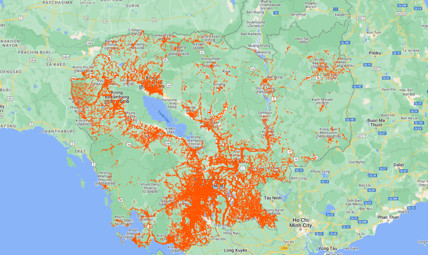
// get the feature collection of Cambodia
var fcCambodia = ee.FeatureCollection('projects/sat-io/open-datasets/MSBuildings/Cambodia');
// zoom in on Cambodia
Map.centerObject(fcCambodia.first(),6);
// add the data to the map
Map.addLayer(fcCambodia.style({fillColor: '00000000',color: 'FF5500'}),{},'Cambodia');
Click here to see the code.
