
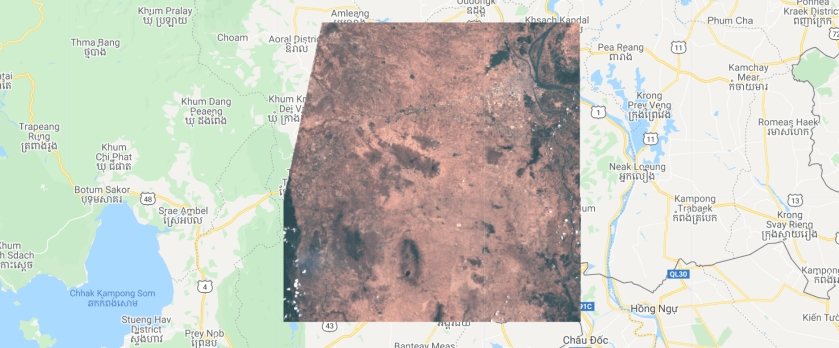
using Google Earth Engine
Question 1:
copy the code below into the earth engine code editor and hit run
// import image
var image = ee.Image("COPERNICUS/S2/20160416T031602_20160416T032714_T48PVT");

// center on image
Map.centerObject(image);
// add image to layer
Map.addLayer(image,{min:0,max:3000,bands:"B4,B3,B2"},"image");
Try to answer the following questions
- When was the satellite image taken?
- what is the cloud cover percentage on the image?
- What are B4, B3 and B2?
- What is the spatial resolution of the image?
Question 2
copy the code below into the the earth engine code editor and hit run
// import image
var image1 = ee.Image("COPERNICUS/S2/20160416T031602_20160416T032714_T48PVT");
var image2 = ee.Image("COPERNICUS/S2/20210331T031541_20210331T032710_T48PVT")
// center on image
Map.centerObject(image2);
// add image to layer
Map.addLayer(image1,{min:0,max:3000,bands:"B4,B3,B2"},"image 1");
Map.addLayer(image2,{min:0,max:3000,bands:"B4,B3,B2"},"image 2");
try to answer the following questions
- When was image 2 taken?
- What differences can we observe on the image?
Question 3:
copy the code below into the the earth engine code editor and hit run
// import image
var image = ee.Image("COPERNICUS/S2/20210331T031541_20210331T032710_T48PVT")

// center on image
Map.centerObject(image);

// add image to layer
Map.addLayer(image,{min:0,max:3000,bands:"B4,B3,B2"},"True color");
Map.addLayer(image,{min:0,max:6000,bands:"B12,B8,B3"},"False color");
try to answer the following question
- What is the difference between image 1 and image 2?
Question 4:
copy the code below into the the earth engine code editor and hit run
// import image
var image1 = ee.Image("COPERNICUS/S2/20151208T033242_20151208T033323_T48PWV")
var image2 = ee.Image("COPERNICUS/S2/20211101T031859_20211101T032530_T48PWV")

// center on image
Map.centerObject(image1);

// add image to layer
Map.addLayer(image1,{min:0,max:3000,bands:"B4,B3,B2"},"2015");
Map.addLayer(image2,{min:0,max:3000,bands:"B4,B3,B2"},"2021");
try answering the following question:
- what is the dominant change between 2015 and 2021?
Question 5:
copy the code below into the the earth engine code editor and hit run
// import image
var image = ee.Image("COPERNICUS/S2/20191003T031549_20191003T032936_T48PWU");

// calculate the ndwi
var ndwi = image.normalizedDifference(["B3","B8"]);

// center on image
Map.centerObject(image);

// add image to layer
Map.addLayer(image,{min:0,max:3000,bands:"B4,B3,B2"},"oct 2019");
Map.addLayer(ndwi,{min:0,max:1,palette:"white,blue,darkblue"},"ndwi");
try answering the following question:
- what is the ndwi?
Question 6:
copy the code below into the the earth engine code editor and hit run
var img = ee.Image("COPERNICUS/S2/20181102T031901_20181102T032732_T48PVT");

// calculate the ndbi
var ndbi = img.normalizedDifference(["B12","B8"]);

Map.addLayer(img,{min:0,max:3000,bands:"B4,B3,B2"},"sentinel 2 image");
Map.addLayer(ndbi,{min:-0.25,max:0.250,palette:"white,gray,black,purple"},"ndbi");
try answering the following question:
- what is the ndbi?
